
Snellville Neighbors Record Sources
Each public source describes a different part of a Snellville block. GIS establishes geometry and shared boundaries. Assessor cards identify assessed owners. A public voter file can show registered electors at public residence addresses, subject to protected fields and lawful-use rules. Permits and plats explain physical change. Community groups may publish officers or event contacts, but their member lists are not public resident rolls.
| Block source | What it can show | Access channel |
|---|---|---|
| Gwinnett GIS Data Browser | Parcel shapes, adjacency, streets, addresses, and context layers | Free county map |
| Assessor property cards | Assessed owner, situs, mailing address, parcel traits, and exemptions | Free parcel-by-parcel portal |
| Public voter file | Registered electors at nonprotected public residence addresses | Requested state or county product |
| Permits and zoning agendas | Projects, applicants, site addresses, and dates | Online or records request by jurisdiction |
| Subdivision plat | Lots, blocks, dimensions, and easements | GSCCCA image tier or clerk counter |
| Association source | Public officers, contact points, and events | Organization source; roster usually private |
Ownership is not occupancy. The owner mailing address may be a post office box, a trust address, a representative's office, or another property. A homestead flag supports an eligible owner's principal-residence claim, but it is not a roster of your neighbors. Keep every inference labeled.
Map a Snellville Neighbors Block
The Gwinnett County GIS Data Browser supports address, parcel ID, street, and map searches. It also links selected geometry to property information. The official guide confirms parcel selection and pan-and-zoom tools, but no radius or buffer report was verified. Build the block manually from the subject parcel.
- Start typing the full address, choose the autocomplete suggestion, and submit it.
- Select the parcel polygon. Copy its PIN and keep the map centered.
- Click every parcel sharing a boundary, then each parcel directly across the street.
- Open property information and record situs, PIN, owner, and owner mailing address in separate fields.
- Pan along the block only as far as the research question requires. Use Street Search for a whole-road project.
This creates a reproducible flow: address to parcel, parcel to adjacent geometry, geometry to assessor card, then owner name to a supporting official record. For a full named-road chain, switch to the Snellville street directory method rather than expanding a block lookup without limits.
Separate Snellville Owners and Neighbors
The Gwinnett assessor search accepts owner name, property address, and parcel ID. A parcel card may include owner, owner mailing address, situs, legal description, subdivision and lot, values, exemptions, building traits, sale references, and a map link. Exact fields vary, so inspect each card before citing one.
- Situs address
- The physical location assigned to the parcel.
- Mailing address
- The destination selected for tax correspondence.
- Parcel or PIN
- The county's exact property key.
- Homestead exemption
- Evidence consistent with an eligible owner's principal-residence claim, not a household list.
Do not turn an owner's name into a claim about everyone who lives there. Renters, relatives, minors, and unlisted occupants are normally absent from the property roll. A company or trust may hold title. The parcel card answers who is assessed, while other sources must address the narrower question of resident presence.
Snellville Neighbors and Voter Data
Georgia law makes elector lists with names and addresses publicly available under O.C.G.A. § 21-2-225, but confidential fields are withheld. Those fields include driver or state ID data, Social Security information, month and day of birth, and protected residence addresses. Ballot choices are never part of participation history. Georgia also does not register voters by party.
The Georgia My Voter Page is not a block browser. It requires a first initial, last name, county, and date of birth, and it serves voter-specific information such as registration status, polling place, districts, precinct, sample ballot, and absentee status. The Secretary of State describes it as an extract, while Gwinnett Elections keeps the authoritative record.
For a lawful block-level project, request the public voter-list product and its data dictionary, Gwinnett scope, snapshot date, format, cost, and use restrictions. A filtered list will omit people who are not registered and anyone whose address is protected. It is a limited presence clue, not a directory of all Snellville neighbors.
Snellville Neighbor Geography
A Snellville mailing name does not prove that a lot lies inside the city. The county ZIP map places 30039 and 30078 around Snellville and shows 30052 at the edge. Postal zones route mail. They do not establish city jurisdiction. Nearby parcels can share a road while falling under different city or county planning paths.
Use the GIS municipal-boundary context and the Snellville Planning and Development map resources before requesting permits or zoning files. Inside the city, ask Snellville for an exact address, parcel, case, and date. Outside it, use Gwinnett County. Projects and hearing records can show applicants and work at a site, but they do not identify all occupants.
Note: A ZIP, school zone, utility layer, or informal neighborhood name is context, not proof that a person lives on the block.
Snellville Community Directory Limits
Snellville Tourism and Trade, city events, the Snellville Historical Society, civic groups, congregations, subdivision associations, and watch groups may publish an officer or general contact. No authoritative comprehensive city neighborhood-association directory or public member roster was verified. Treat association directories as member-controlled records.
| Community source | Good use | Boundary |
|---|---|---|
| Snellville Historical Society | Local history, archival contacts, older community context | Not a modern resident roll |
| City clerk and events | Public city contacts, civic notices, and city-created records | No comprehensive neighborhood roster |
| HOA or subdivision group | Published officer or member contact channel | Membership list usually private |
| Church or civic group | Public leaders, events, historical publications | Attendance and membership are not presumed public |
The Snellville city clerk is a suitable contact for identifiable city-created records. The manifest image below shows that official city channel. It does not establish a citywide list of Snellville neighbors.
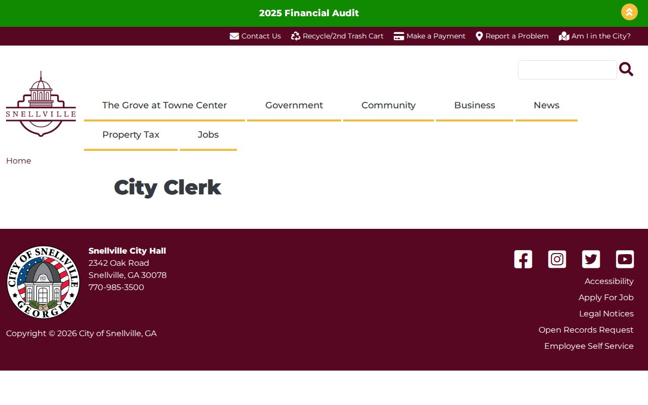
Use the clerk when the record belongs to the city, and use county offices for county-held parcel, court, election, or deed material.
Snellville Block Court Sources
The Gwinnett Courts gateway routes searches and requests for county-held court and clerk records.
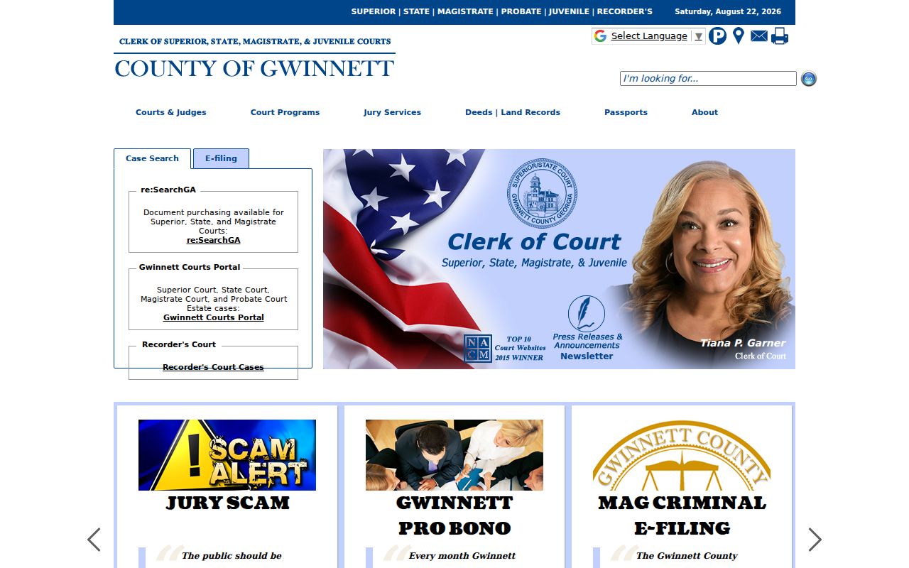
A court index can support a specific, already-known name or property question. It should not be used to label everyone on a block. Confirm the party, case type, dates, and filed document before connecting a docket to a Snellville parcel.
City ordinance and traffic matters use the separate Snellville Municipal Court channel.
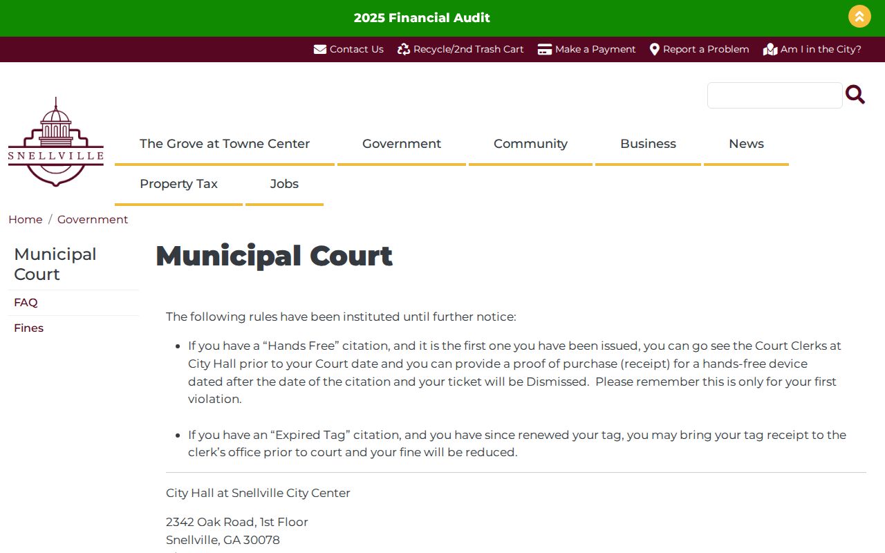
The municipal page establishes the correct city court contact and procedures. It is not a neighbor directory, and a name match there does not establish present residence.
Estate Links to Snellville Records
When a deceased owner or a recorded estate appears in a parcel trail, consult the Gwinnett Probate Court estate division.
Estate filings can identify a decedent, representative, heirs, will, or transfer context. Read the actual case record and match it to the parcel or deed. Do not infer that every named heir lived near the property.
Before ordering a copy, check the court's current Probate Court fee information.
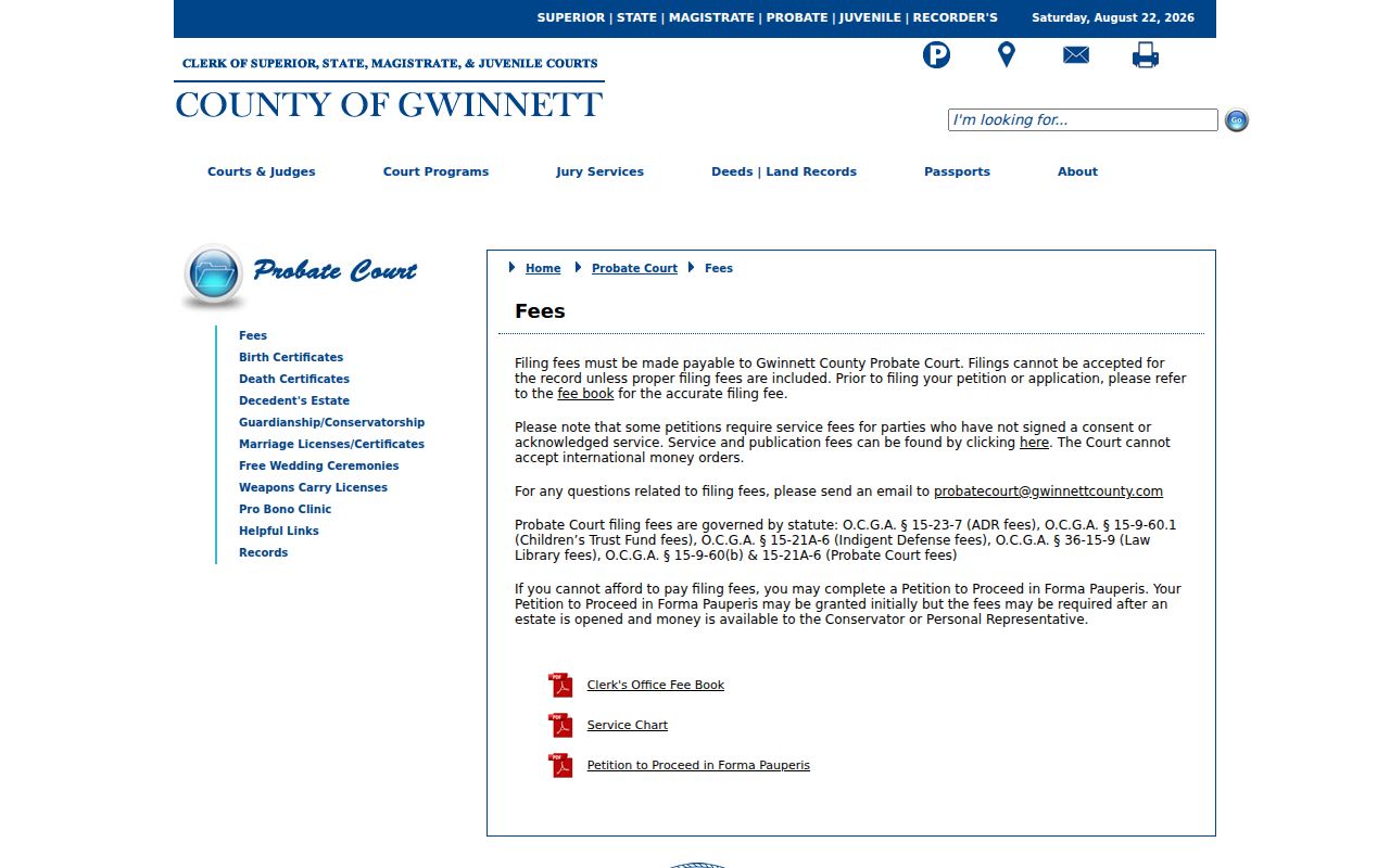
The fee page is the official place to confirm current charges before requesting a probate record. Fees and copy rules can change, so avoid relying on an old summary.
Official Snellville Neighbor Records
Commercial neighbor tools compile public and marketing data that may be stale, merged, or tied to the wrong person. Official sources are narrower but disclose their custodian and record purpose. Check the original record before relying on a name.
| Choice | Strength | Limit |
|---|---|---|
| County GIS and assessor | Exact parcel geometry and assessed owner | Not an occupant roster |
| Public voter file | Official registered-elector data | Omits nonvoters and protected records |
| Community source | Current public contact chosen by the group | Roster may be private or incomplete |
| Commercial compilation | Broad category search | Accuracy, date, and source can be unclear |
Read Snellville Block Plats
A subdivision plat explains the physical plan behind a row of parcels. It may show the subdivision name, phase, numbered lots and blocks, lot dimensions, roads, drainage areas, access points, and recorded easements. That context can explain why two yards touch, why a narrow strip is not a separate home site, or why a road-facing lot belongs to a different subdivision than the parcel beside it.
Start with the subdivision, lot, and block fields from the assessor card. Then use the deed reference or GSCCCA property search fields to locate the recorded plat. If the image is unavailable under the account tier, take the reference to the Gwinnett clerk's counter. A plat identifies land design. It does not name all people living within the lots, and an easement does not establish that a neighbor owns the land it crosses.
Parcel geometry also helps avoid false matches. Two addresses that look consecutive may sit on different cul-de-sacs, back onto each other, or fall across a municipal boundary. Save the map URL when the county viewer permits it and note the date viewed. County map data and recorded plats can change after splits, combinations, or corrections.
Older Snellville Neighbor Networks
Modern parcel rolls are not the only way to study a community. The Gwinnett Historical Society describes a 1911 church history covering 92 churches with membership lists, a 1923 county school survey with teachers and school images, and a Snellville Consolidated School history with students and teachers through 1957. These sources support historical family and community research, not claims about present-day neighbors.
The Society's Rosebud-Snellville-Suwanee binder index can expose surnames and place-name variants. Its county family volume contains hundreds of submitted histories and a large full-name index. Treat a compiled family history as a lead, then confirm names and dates with deeds, census records, tax books, certificates, probate files, or newspapers. Published recollections can preserve facts that official rolls omit, but they may also carry errors.
The Snellville Historical Society maintains the city's only described local archival collection and offers a public contact route. It holds records, images, and artifacts tied to local development. Ask about a named road, subdivision, family, school, congregation, or time span. A precise request is more likely to reach the right folder than a broad request for everyone on a block.
Privacy for Snellville Neighbors
Utility and delivery accounts are not public block directories. Driver-record addresses are protected by federal law. Property rolls generally omit renters and other non-owner occupants. Georgia VoteSafe protects qualifying voter residence addresses related to family violence or stalking, and the state's address-confidentiality mechanism can provide a substitute address for eligible survivors.
Protected and unlisted people should stay off the map. Do not try to defeat confidentiality by combining partial records. If a public record contains a sensitive identifier, contact its custodian about the statutory redaction or correction process. Removing a commercial listing does not delete an accurate assessor, deed, court, or voter source record.
Lawful use. Look up Snellville neighbors for civic curiosity, reconnecting, or personal safety awareness. Never use records to watch, intimidate, harass, threaten, or harm anyone.