
Snellville ZIP Areas at a Glance
Three postal areas matter when tracing a Snellville address: 30078, 30039, and 30052. They overlap the city's practical geography in different ways. The Snellville ZIP code directory must therefore distinguish postal routing from government jurisdiction. Central Snellville is tied most closely to 30078, while 30039 extends through northern and eastern postal territory and unincorporated Gwinnett. The Loganville postal zone, 30052, meets the eastern edge shown on the county map.
| ZIP Code | Areas Covered | Post Office | Notes |
|---|---|---|---|
| 30078 | Central Snellville and the US 78 / Georgia 124 area | Verify with USPS Snellville facilities | Principal Snellville zone; extends beyond the city line |
| 30039 | Northern and eastern Snellville postal area, including Centerville context | Verify with local postal station | Includes a large unincorporated Gwinnett area |
| 30052 | Loganville postal zone at Snellville's eastern edge | Verify with Loganville facilities | Nearby parcels may use Loganville as mailing city |
No official source inspected established a PO-box-only or unique ZIP for Snellville, so none should be inferred. The USPS ZIP Code Lookup is the right source for the postal city and ZIP attached to a full address. The county's ZIP map is the better source for comparing postal polygons with municipality outlines. Neither one proves who owns or occupies a parcel.
Central Snellville ZIP 30078
Snellville grew around the meeting of U.S. 78 and Georgia 124, and 30078 is the principal postal zone for that central area. City history places the crossroads about 25 miles northeast of Atlanta and 45 miles west of Athens. That location helps explain why records can carry a Snellville mailing label while the parcel sits outside the incorporated boundary.
Use 30078 as a postal filter, not as a claim of city jurisdiction. A city planning or zoning file is likely only when GIS confirms the site lies inside Snellville. County property, deed, court, and election records remain the broad first layer. If a search starts with only a person and 30078, narrow by full address, subdivision, parcel PIN, or a second record before deciding that a match is correct.
Snellville ZIP 30039 Geography
The 30039 postal area covers northern and eastern Snellville context and reaches into Centerville-area communities. Much of the zone is unincorporated Gwinnett. The Centerville library branch is useful to people on this side of the postal area, but branch convenience does not define which city holds a planning record. Systemwide Gwinnett County Public Library digital resources are shared.
A resident search in 30039 should begin with county records. Then inspect the municipal boundary before contacting Snellville City Hall. A postal city name exists to route mail, while zoning and court authority follow legal boundaries. This geography is the core reason a ZIP-only match can send a request to the wrong office.
Where 30052 Meets Snellville
The official Gwinnett map shows 30052 touching Snellville's eastern area. USPS may assign Loganville as the mailing city to a nearby parcel that still appears relevant to a Snellville-area search. The label does not alter the deed, parcel PIN, legal description, or municipal line. Those keys should control the records trail.
When a name search yields both Snellville and Loganville addresses, compare the parcel rather than discarding one result. The tax roll's situs field gives the physical location, while its mailing field gives the owner's correspondence destination. They can differ for valid reasons and must not be collapsed into one address.
Search Snellville Residents by ZIP
No official portal was verified to offer a one-click list of all residents or owners in a Snellville ZIP. The assessor's confirmed primary fields are owner name, property address, and parcel PIN. GIS address autocomplete accepts a full postal-style address, and downloadable GIS data may be filtered when a ZIP attribute exists. A lawful voter-file product can include residence ZIP, but My Voter Page cannot browse a whole postal zone.
- Enter the complete address in USPS ZIP Lookup and save the standardized postal city and ZIP.
- Open the Gwinnett GIS Browser, locate the address, and record its parcel PIN and municipal relationship.
- Search the assessor by owner, address, or PIN. Keep the situs and mailing fields separate.
- For a broad voter inquiry, ask Elections or the Secretary of State about an existing lawful file and its ZIP field.
Once the postal zone has been narrowed to a road, the Snellville street directory provides the address-level chain. A ZIP code directory is too broad to identify a household, and an owner roll never lists every occupant.
Snellville ZIP Search Fields
The strongest verified public search fields are not a ZIP-wide owner filter. They are the fields that turn a postal address into a stable parcel record. Use the full address in USPS first, then match it in the assessor and GIS. If a vendor screen changes, the parcel PIN remains the best exact key.
| System | Verified Input | Result to Save | Limit |
|---|---|---|---|
| USPS Lookup | Full street address | Postal city, ZIP and ZIP+4 | Does not decide city jurisdiction |
| Assessor | Owner, property address or PIN | Owner, situs, mailing address, parcel | No stable public ZIP-wide filter confirmed |
| GIS Browser | Address autocomplete or map | Parcel and mapped boundary context | Layer availability can change |
| Voter file request | Existing Gwinnett data product | Lawfully public geographic fields | Protected records and fields withheld |
My Voter Page uses first initial, last name, county, and date of birth for an individual's own record. It returns status, polling place, precinct, districts, sample ballot, and absentee details. It is not a ZIP browse tool, and the Gwinnett registrar holds the official record.
Verify a Snellville Postal Address
The official USPS lookup should settle how mail is routed today. Enter the full number, street, unit, city, and state when known. Record the standardized output before searching county systems, because a missing directional or unit can point to a different delivery point.
Open the USPS ZIP Code tool to verify the postal label before comparing it with government boundaries.
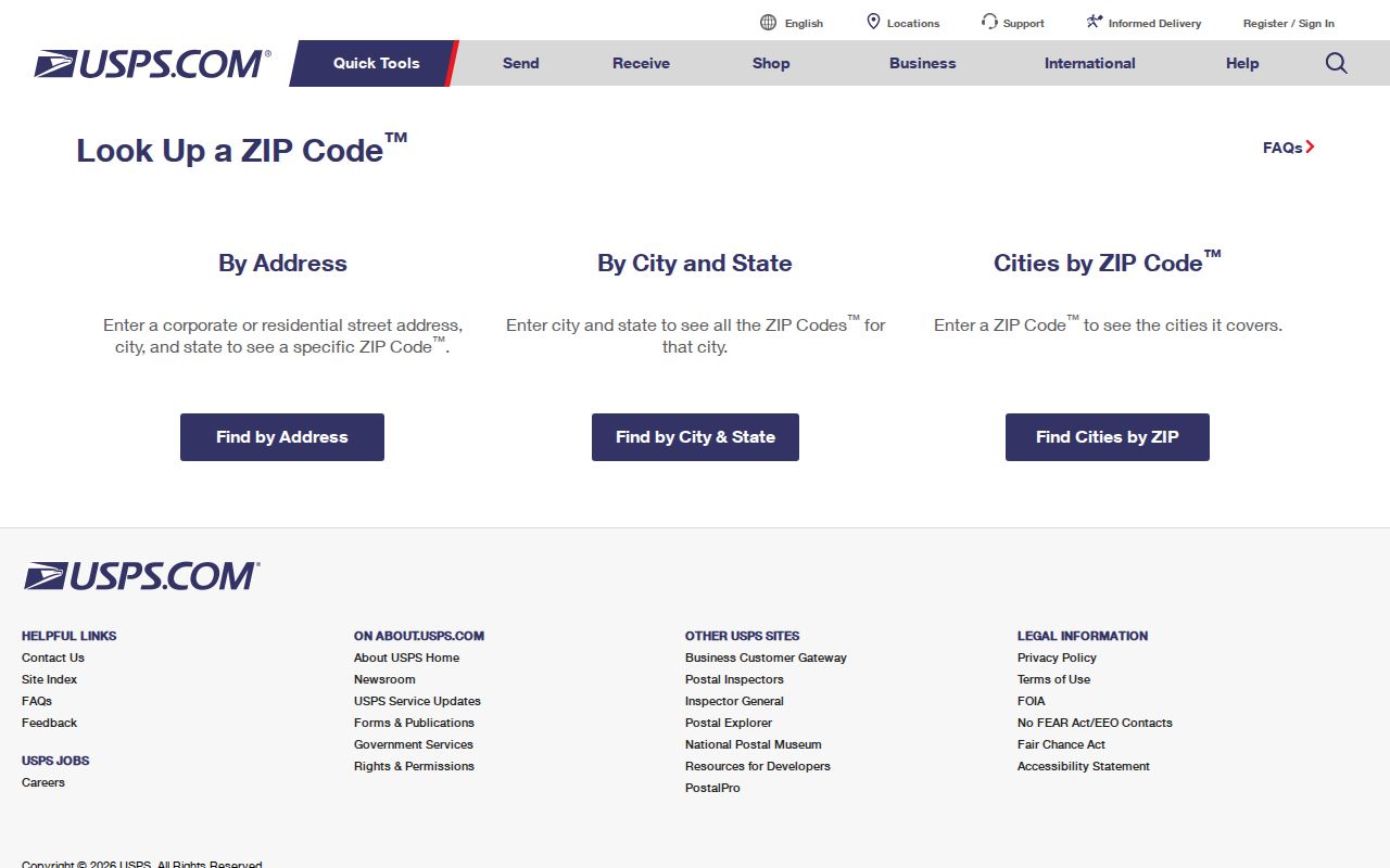
The lookup supplies a delivery answer. Follow it with parcel and municipal checks because postal service geography and city jurisdiction answer different questions.
Snellville Planning Boundary Check
Snellville Planning and Development holds city planning and zoning material for property within its jurisdiction. Applications can name an owner or applicant and identify the address, parcel, proposed work, hearing, and decision. For an address beyond the city line, county records may control instead.
Review the official planning page after the parcel map confirms a Snellville location.

The city page is a records route only after geography is settled. It cannot turn every 30078 or 30039 address into an incorporated Snellville parcel.
Snellville ZIPs and Voter Files
Georgia voter geography is based on residence, precinct, and elected districts, not a simple public ZIP directory. O.C.G.A. § 21-2-225 makes elector lists with names and addresses available, while withholding driver or state ID data, Social Security information, month and day of birth, and protected addresses. Ballot choice is never part of participation history. Georgia also does not register voters by party.
The Secretary of State's open-records route offers voter-list products, and Gwinnett Elections can answer questions about precinct-specific existing records. Ask for the data dictionary, Gwinnett scope, snapshot date, file format, fee, and use limits. VoteSafe addresses must remain protected. A ZIP-filtered voter file still omits nonvoters and cannot identify every person in a home.
Review Gwinnett Elections and precinct information before requesting a geographic extract.
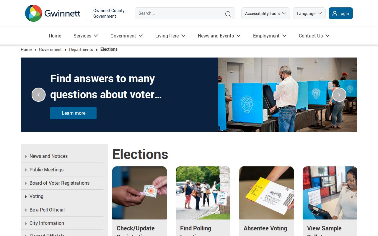
The county page grounds a postal search in official election geography and shows why precinct information should not be inferred from the ZIP alone.
Snellville ZIPs Versus City Limits
A ZIP is a mail-delivery area, not an incorporated government. The county's researched map draws municipal and postal polygons separately, placing Snellville amid 30039 and 30078 with 30052 at the edge. A Snellville mailing city can sit outside the city, and a nearby parcel can carry Loganville in its mailing line. County records should come first; city permits and municipal files follow only after a boundary check.
Legal descriptions stay useful when mailing labels change. A deed may identify land district and lot, subdivision, block and lot, a plat, or metes-and-bounds. A parcel PIN also persists more reliably than casual neighborhood language. These are the safer links between old and new records.
- ZIP and ZIP+4
- The five digits name a delivery area; four added digits narrow a delivery segment or destination.
- PO-box ZIP
- A code assigned mainly or solely to post-office boxes. None was verified for Snellville in the research.
- Unique ZIP
- A code assigned to one high-volume institution. No Snellville example was verified.
- Carrier route
- A set of delivery points served by one postal route, which does not equal a neighborhood or city boundary.
Note: Verify the current postal output and mapped parcel each time, since a ZIP code alone cannot prove residence, ownership, or city jurisdiction.